
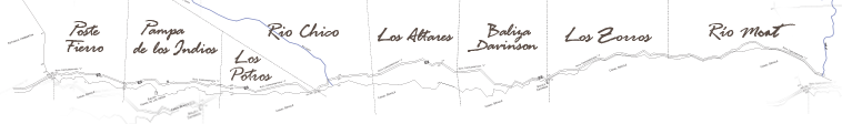
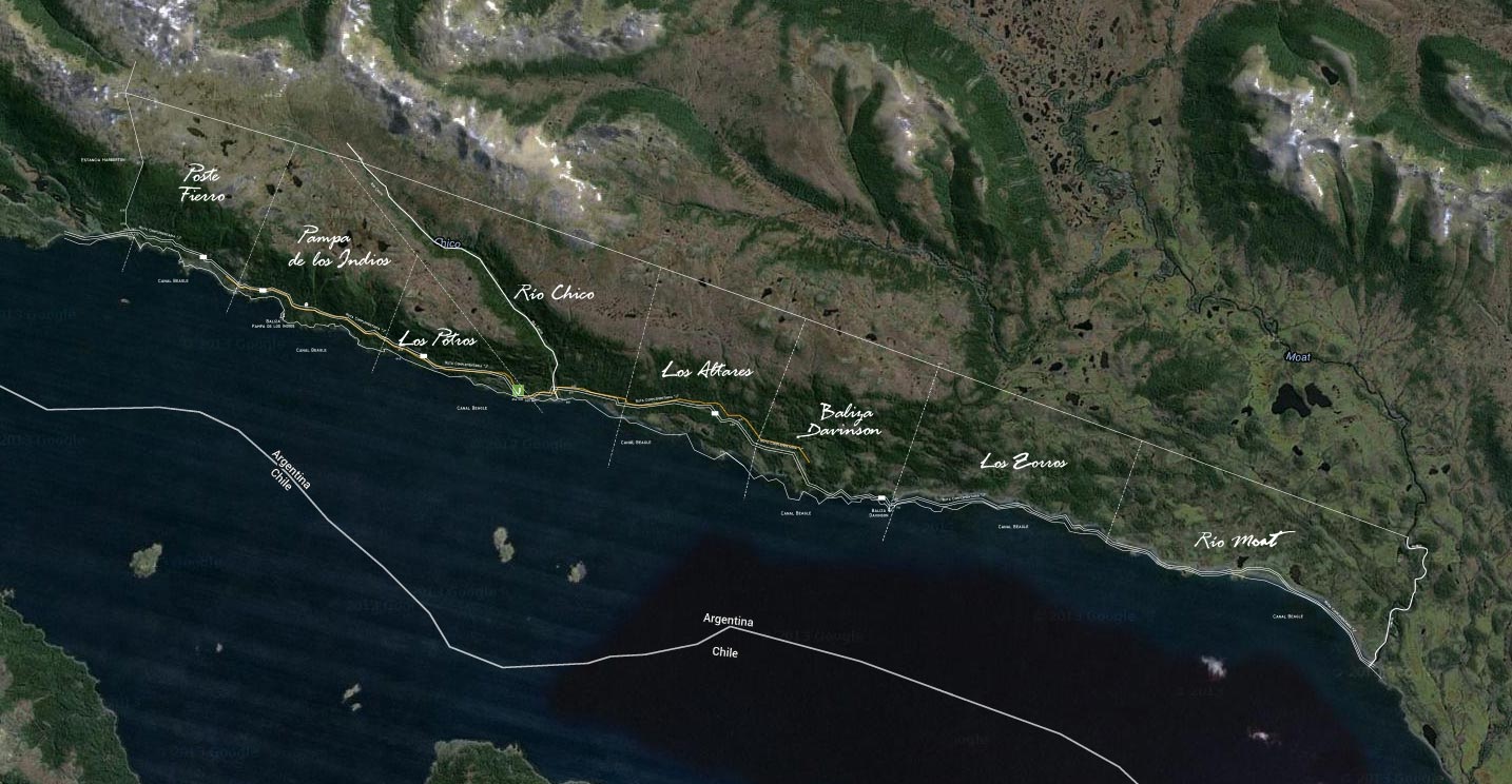
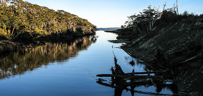
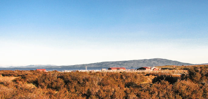
Over a century, this area hosted the headquarters (“el Casco") of Estancia Moat. That means not only that most of the farming and ranching activities were carried on the banks of the Moat River, but also that that was the scene for several important episodes in the history of Tierra del Fuego. Right beyond the bridge that crosses the river, the Ruta Complementaria J ends. That signals the beginning of what, according to several experts, is one of the most relevant coastal protected areas of Patagonia. |
|
|


